
There is something reassuring about opening a paper chart across the table inside a boat.
We use electronic navigation aboard No Plans, and we also carry a sextant. But we still appreciate having paper nautical charts available as a backup reference and as a way to see the larger cruising area all at once.
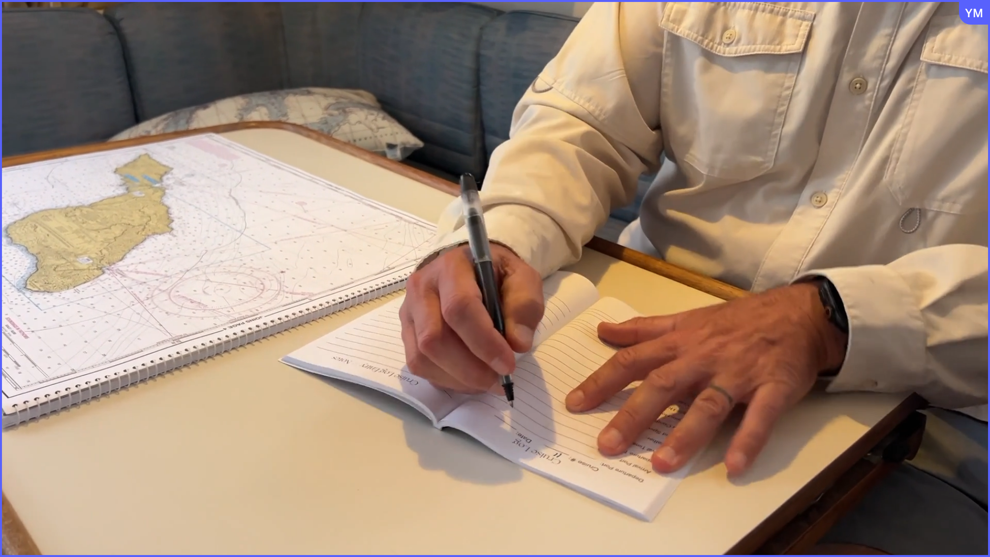
Recently, I photographed Captain John with our older Maptech Southern and Central California ChartKit open beside our Cruise Log. The scene captured something simple that we still believe:
Paper never loses signal.
That does not mean we prefer paper over electronic navigation or that an older chart should be treated as current navigation information. It means that paper continues to have a useful place aboard our boat.
Why We Still Value Paper Charts
Electronic navigation makes it possible to see our position, route and surrounding information quickly. It is an important part of how we operate the boat. Still, electronics and paper provide different ways of looking at the water.
A screen gives us a close, immediate view. A paper chart gives us the bigger picture.
With a chart spread across the table, we can look at a wider cruising area, discuss a route and better understand how different locations relate to one another. We are not limited to the portion of the map currently visible on a screen.
Paper also does not depend on a battery, charging cable, internet connection or electronic display.
Paper Charts Are Useful for Planning and Conversation
One of the things I like about a paper ChartKit is that two people can sit together and look at it.
Captain John can point out a route, an island, a harbor or an area we may want to explore. I can see the entire relationship between those places instead of following a small moving screen.
It also creates a natural connection between planning a trip and documenting it afterward.
In the photograph, our ChartKit is open beside the No Plans USA Cruise Log. The chart helps us look at where we are going. The Cruise Log gives us a place to record where we went, the conditions, fuel and engine information, maintenance notes, crew members and the moments we want to remember.
They serve different purposes, but they work well together.
The Maptech ChartKit We Keep Aboard
The Southern and Central California Maptech ChartKit shown in our photograph is an older edition that we have kept aboard No Plans.
Because it is older, we do not present it as a source of current navigation information. Charts, conditions, aids to navigation and other details can change. Boaters should always confirm that the chart edition, coverage and navigation information they use are appropriate and current for their boating area.
A Newer Southern and Central California Edition
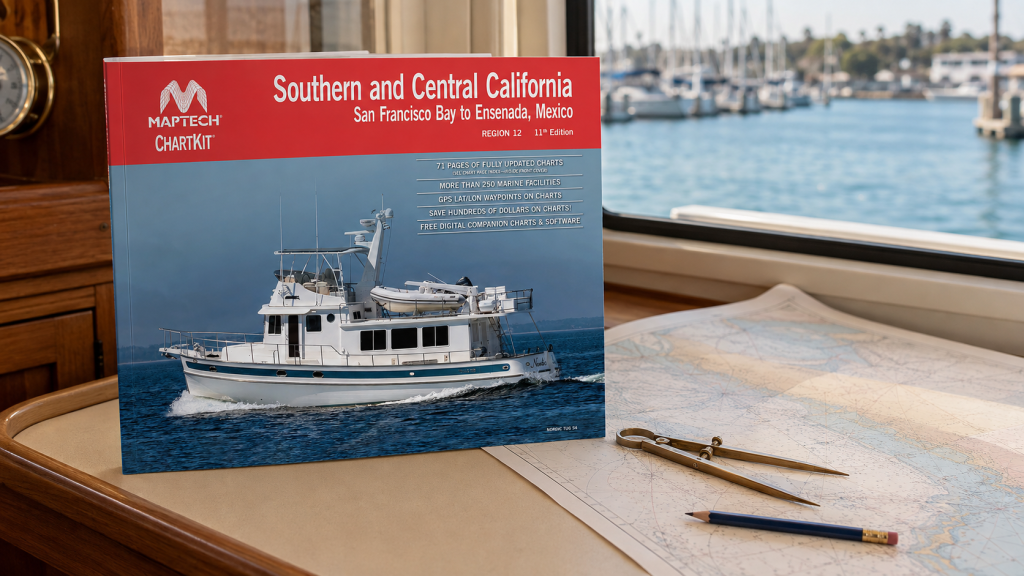
Amazon currently offers a newer Maptech Southern and Central California ChartKit covering the coastline from San Francisco Bay to Ensenada, Mexico.
As an Amazon Associate I earn from qualifying purchases.
View the newer Maptech Southern and Central California ChartKit on Amazon
I own an older edition rather than the exact edition linked above. Before purchasing, review the product description, publication information and geographic coverage to determine whether it fits the waters where you boat.
What to Check Before Choosing a Paper Chart
If you are considering adding paper charts or a ChartKit to your boat, check:
- The geographic area covered
- The edition and publication information
- Whether the scale provides the level of detail you need
- Whether updated corrections or supplemental information are available
- How you will store and protect the chart aboard the boat
- Whether the chart is appropriate for planning, reference or another intended use
Paper and Electronics Work Together
For us, we use electronic navigation because it provides valuable, immediate information while underway. We keep paper charts because they offer a larger visual perspective and a backup reference that does not depend on a screen.
A Habit Worth Keeping
Boating technology will continue to change, and many boaters may rarely open a paper chart. We understand why. Electronic tools are convenient and powerful.
But there is still something useful about spreading a chart across the table, looking at the water from a wider perspective and talking through where you have been or where you may go next.
That is why we still keep paper nautical charts aboard No Plans.
Do you still carry paper charts aboard your boat, or have you moved completely to electronic navigation? Share your experience in the comments.
Leave a Reply